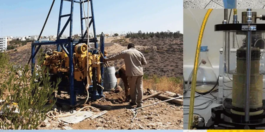
The ground beneath Richmond Hill tells two very different stories depending on where you stand. On the high ground of the Oak Ridges Moraine you’ll find sandy till and glaciofluvial deposits that drain fast but can be loose in places. Down along the Don River floodplain you hit softer, compressible silts and clays that behave completely differently under load. We’ve seen projects two blocks apart call for entirely different foundation strategies for exactly this reason. A thorough soil mechanics study gives your engineer the numbers needed to design confidently—shear strength parameters, consolidation potential, and bearing capacity specific to your lot rather than generic assumptions pulled from a regional map. When we combine that with in-situ testing like CPT we can map the transition between those two geological units with precision, avoiding surprises during excavation.
On the Oak Ridges Moraine, two neighboring lots can sit on completely different soil units—one on dense till requiring no improvement, the other on loose sand needing compaction.