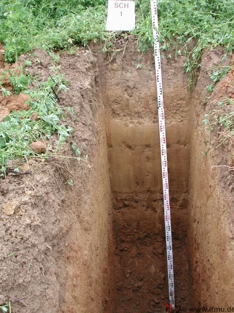
Richmond Hill’s development, particularly the post-1970s expansion north of Highway 7, has consistently pushed residential and commercial construction onto the complex glacial deposits of the Oak Ridges Moraine. The population, now exceeding 200,000, has driven a demand for precise geotechnical data, especially where the variable till and interbedded sand layers create unpredictable bearing surfaces. In our track record, the most reliable way to visually confirm stratigraphy before a shovel hits the ground is through a well-executed exploratory test pit. Unlike strictly remote sensing methods, an exploratory test pit allows our technical team to directly observe soil structure, moisture conditions, and potential cobble content—critical factors in a municipality where a single lot can transition from dense clayey silt to loose sand within meters. For deeper stratigraphic confirmation, we often supplement findings with a CPT test to produce continuous soil behavior profiles where the test pit base is exceeded.
A direct look at the soil profile through an exploratory test pit often reveals critical details—like thin silt seams or perched groundwater—that other subsurface investigation methods can easily miss.