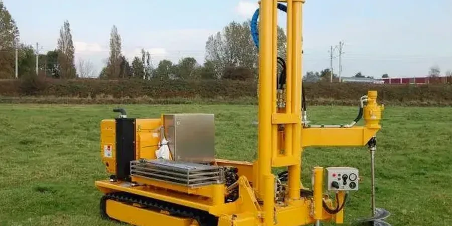
Much of Richmond Hill sits on the Oak Ridges Moraine, a legacy of glacial retreat that left behind a complex mix of dense sandy till, silt, and clay pockets. This is not uniform ground. A standard borehole log might miss a thin, weak silt layer at 7 meters, but that layer can govern how a deep foundation behaves. In our experience, the cone penetration test catches exactly those details. We push an instrumented cone into the ground at a steady 20 mm/s, measuring tip resistance and sleeve friction in real time. For sites near the kettle lakes in the northern sections of Richmond Hill or the older clay plains south of Major Mackenzie Drive, a test pit investigation can complement the CPT data by letting us visually confirm the stratigraphy at shallow depths where glacial disturbance is most unpredictable.
A continuous CPT profile in Richmond Hill's moraine soils reveals thin, weak seams that conventional boreholes routinely miss—and those seams often control the foundation design.