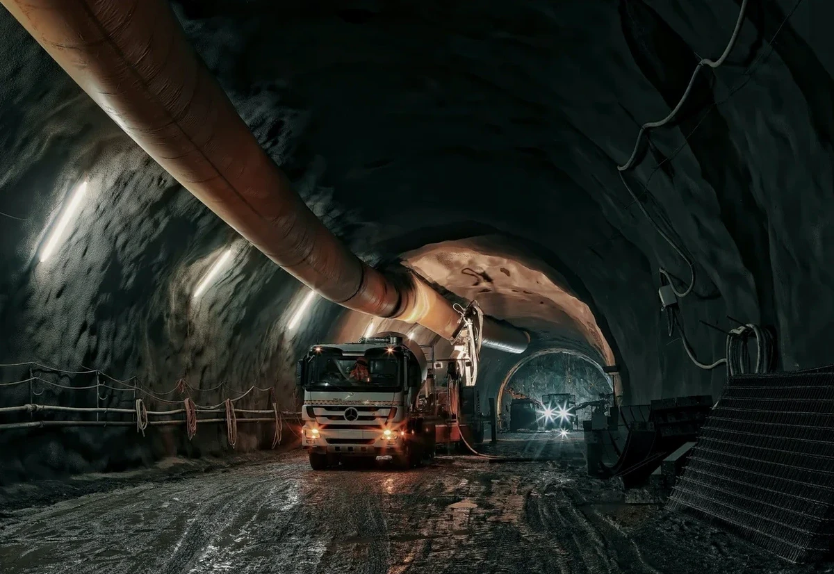
On a project north of Major Mackenzie Drive, you quickly realize that Richmond Hill's glacial stratigraphy doesn't read like a textbook. The Oak Ridges Moraine draped a complex sequence of silty clay, sand lenses, and dense Halton Till over the bedrock, and when a tunnel alignment cuts through the softer Newmarket Till, the behavior changes within meters. We have seen TBM drives that went smoothly through stiff clay suddenly encounter flowing sand pockets because the pre-investigation stopped at a dozen boreholes. A proper geotechnical analysis for soft soil tunnels here starts with a geological model that respects the moraine's heterogeneity—otherwise, the ground model is fiction. Before mobilizing the rig, we often recommend pairing the subsurface characterization with a CPT survey to capture the continuous stratigraphic profile, which standard SPT alone cannot resolve in interbedded deposits.
In Richmond Hill's moraine stratigraphy, the tunnel face stability is often controlled by a thin sand lens you didn't know was there—continuous CPT profiling catches what discrete SPT intervals miss.