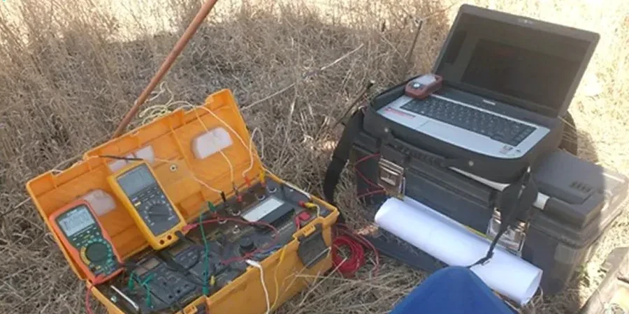
The subsurface conditions between the Oak Ridges Moraine and the flatter lands south of Major Mackenzie Drive can vary dramatically over a few hundred metres in Richmond Hill. One site might sit on dense Halton Till with a water table at six metres, while another lies over interbedded glaciolacustrine silts and sands where perched aquifers complicate any excavation plan. Before placing a foundation or designing a stormwater infiltration system, understanding this vertical succession of resistivity contrasts is the fastest way to reduce uncertainty. Vertical Electrical Sounding (VES) provides a continuous resistivity profile by expanding electrode spacing stepwise, resolving layer thicknesses and groundwater boundaries without a single borehole. For deeper targets or areas where till thickness is unknown, we integrate VES results with seismic refraction to cross-check bedrock depth and rippability, giving the design team a multi-method picture of what lies beneath the surface.
In Richmond Hill’s moraine landscape, a VES survey often reveals a perched water table within sandy interbeds that borehole logs alone miss—critical information for dewatering design.